Last weekend I took part in the coolest race I have ever done, the Tommyknocker 12 Hour Run. Part of the races put on by the Human Potential Running Series, I heard about his race a while back on a Facebook page and it immediately got me interested A) because it was being held about fifteen minutes from my apartment at a park I was very familiar with and B) it had a random draw course.
What? Random Draw course? Yep. Fast forward to race day. Me and about twenty other crazies (a few of which were running a half marathon course) gathered at the bottom parking area of White Ranch Park for a six a.m. start. The first section of the race took all the runners up the "Purgatory" route to the upper parking lot of White Ranch, a distance of 5.5 miles and about 2,300 feet of elevation gain. Once up top we all were required to do the Green loop, a 2.2 mile loop with a (relatively) easy 500' of elevation gain. At this point the half marathoners headed back down Purgatory to finish their run. For the rest of us, things had not even really begun.
After finishing the Green loop the fun began. In a bucket there were a bunch of ping pong balls marked with the first letter of all the four loop possibilities, Green, Yellow, Red, or Orange. All of varying lengths and elevation gains. I plunged my hand in and picked: Green. the one I had already done just after the Purgatory climb. I knocked that out pretty easily. Another pick: Green. Finished that up. Picked Again: Green again. It was getting pretty comical and slightly frustrating. I wanted to do some other loops, see what they were all about. Be careful what you wish for kids.
At this point I was up to a little over fourteen miles and it was only about 9:30 or so. I was eager for a different loop. I finally picked a different color, Orange. This loop was 3.8 miles long with a hair over 1000 feet of elevation gain. It was nice to run something other that the Green loop but I knew from training at White Ranch that this loop was going to put a bit of a hurt on me, plus the day was quickly warming up to an eventual high in the low eighties. I'd been walking and hiking most everything that was not flat or downhill up to this point in the ultra runner style trying to conserve my legs as much as possible. With the amount of miles under my belt and the steepness of some of the orange loop sections, I was going to be power hiking and going a bit slower from now on.
 |
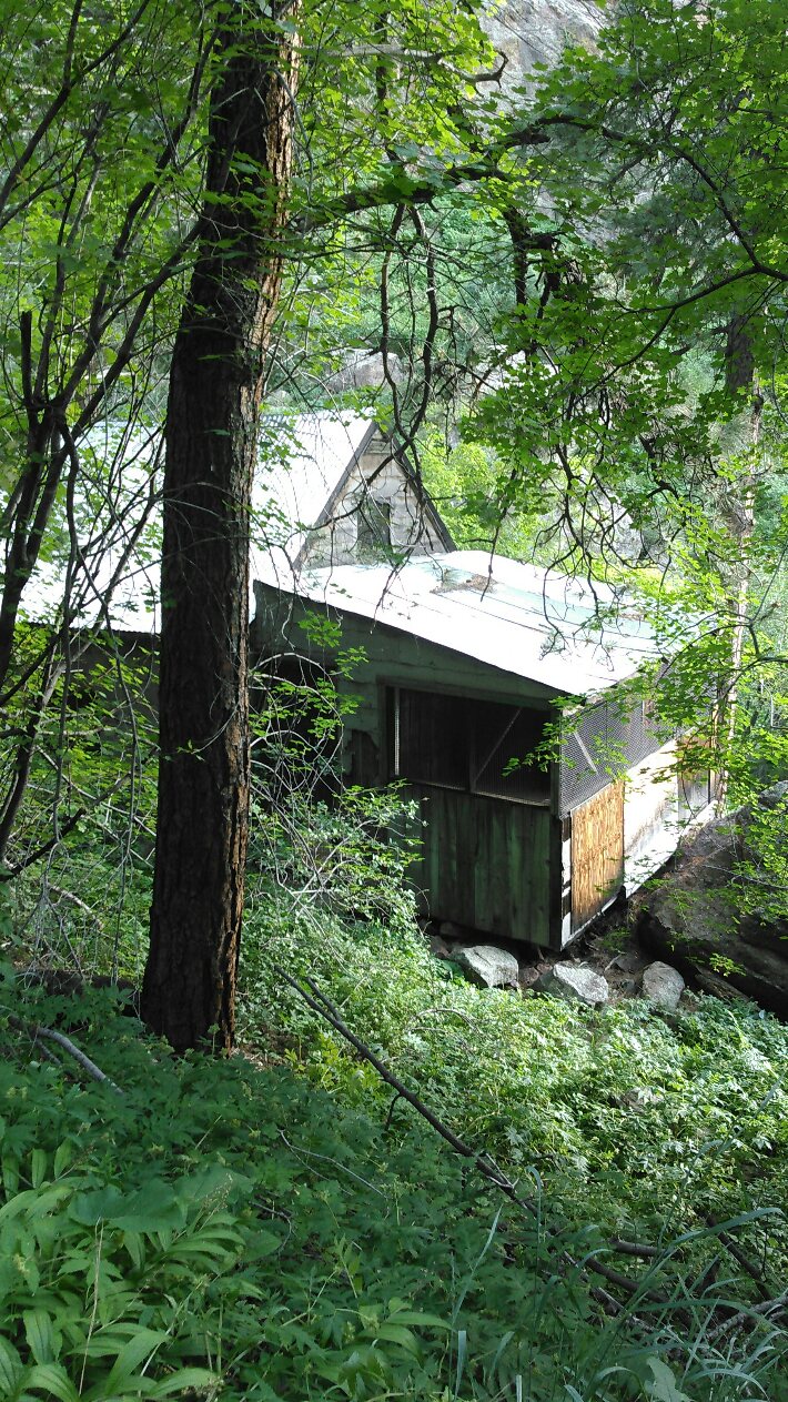
| Heading out for an Orange Loop |
After the Orange loop I picked..... another Orange. Though my energy level was good and my fueling/hydration had been going pretty flawlessly, I was getting really tired toward the end of the second Orange and I was running less and less. And I was getting a real feeling of dread because I was hearing rumblings and whisperings from other runners all day about a lurking beast on the course: The Yellow Loop. Being a White ranch veteran I knew from the race course map that this would be the toughest test of the race if I was unlucky enough to select it. Six miles long. A shade under 2,000 tortuous feet of elevation gain, almost every foot of that in the last two soul-crushing miles. I was tired. I was getting hot. I DID NOT WANT THIS LOOP!
I picked the yellow loop.
At his point my quads were so shot I could only run flat-ish trail sections, and those are few and far between in Colorado let me tell ya. So I was down to speed walking and power hiking for the most part. I was exposed to the sun more on Yellow loop than any other time during the day and it was now early afternoon. The heat was on. I was moving fairly well the first four miles then I began the long climb up. About 1,500 feet up. In two miles. If hands on knees power hiking with a hot Colorado sun beating on you is your idea of a great time Yellow is for you. You would also be a sick human being. I won't lie, there was some not-for-kids language being spoken at fairly loud volumes during that relentless climb.
I eventually made it back to the upper lot and the aid station and told our race director John that the Yellow loop should be reserved only for a person's worst enemies! I knew from a previous hike that I could make it down Purgatory without running in a little over two hours (if you did not make it down to the lower lot where we started by 6 p.m. you got zero miles for the day!). With roughly four hours left I debated whether to pick another ping pong ball. I was sitting at almost 28 miles for the day so I knew if I headed down I would more than top my goal of 30 miles for the day. But John had taken the two longer loops out of the bucket, leaving just Green and Orange. I decided if I picked Green I would do it, if not I was heading back down. I got Green and headed out after a pretty long stay at the aid station fueling up, hydrating, and contemplating the meaning of it all. I probably ran the first couple hundred yards of the loop. The rest was walking. I was really, really done.
After finishing Green I thanked John for putting on the most fun race I had ever done and headed back down Purgatory with about 2:30 left in the race. I was pretty much dragging my right leg at this point though I was able to speed-shuffle some of the flatter portions toward the bottom. Also had some good company on the way down from a couple other runners, making time go a bit faster thank goodness!
I hit the finish with about twenty minutes to spare. Final tally: 35.4 miles with 9,944 feet of elevation gain and loss. The best race experience of my life, hands down. I blew away my best expectation for the race and gave myself confidence that I can do an ultra distance. I was super happy with my fueling and hydration. I never bonked. I felt sharp and mentally into it the whole day. I would say a spring or early season 50 k or trail marathon is definitely going to happen. And you can pencil me in for next years Tommyknocker 12 Hour. Although my quads hurt so much I could barely sleep for two days afterwards I wouldn't miss it!

In the XC world, my son Cooper is healthy and running well for the Monmouth Scots, finishing first on the team in their first two races of the season. The team has come a long way since his freshman year and he is looking good to go for an All Conference spot later on this fall.
 |
| That's Coop second from the left |
Claire has become a leader on her Arvada West team, which is one of the top ranked girls teams in Colorado. She recently won and set a meet record and The Standley Lake Gator Invite!
 |
| The only decent running pic Claire has ever taken lol |
Since I don't really like to run high mileage weeks a huge part of my training for Tommyknocker was tough hiking including a couple 14er trips. The most recent was a double 14er of Grays and Torreys. I won't go into a bunch of detail since it was a while ago and there isn't much in the way of pictures since it was a foggy, cloudy, rainy trip with no views from the peaks. It was a great day in the mountains despite the conditions and I was happy I was able to push through to do both peaks like I had planned. I can thank those nasty Midwestern winters for giving me a thick skin, I don't think the windy, mid-thirties weather above 13,000' affected me like it did a lot of other people up there. Many were turning back or abandoning the double and heading down after only one peak.